
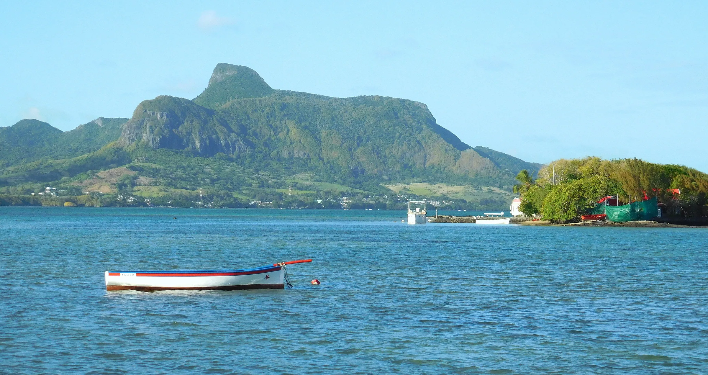
Today on Lion Mountain
Reading the forecast for the summit…
A short, serious mountain over the oldest bay on the island.
Lion Mountain rises to about 480 m straight out of the sugar cane behind Vieux Grand Port, where the Dutch first came ashore in 1598 and where, in 1810, the French won the only naval battle inscribed on the Arc de Triomphe. The hike up its spine is short, steep and partly exposed, with a few rock steps that need hands and a summit block that rewards you with the whole lagoon of Grand Port, Île aux Aigrettes and the airport runway laid out below.
This guide exists to answer the questions people actually ask before going: where the trail starts, how hard the lion’s head really is, when the south-east coast gives you clear air, and what to do with the rest of the day in Mahébourg, Blue Bay and the islets.
The guides
Everything on this site is researched from official and primary sources and written to help you decide, not to sell you anything.
Plan the hike
The route from Vieux Grand Port, how hard it really is, where to park, when to start and what to carry.
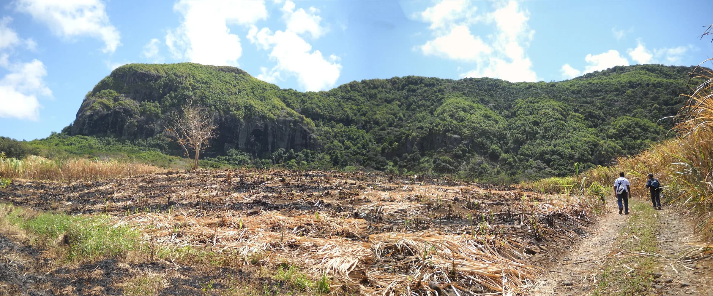
The Lion Mountain hike
The full route from Vieux Grand Port to the lion’s head, stage by stage.
Read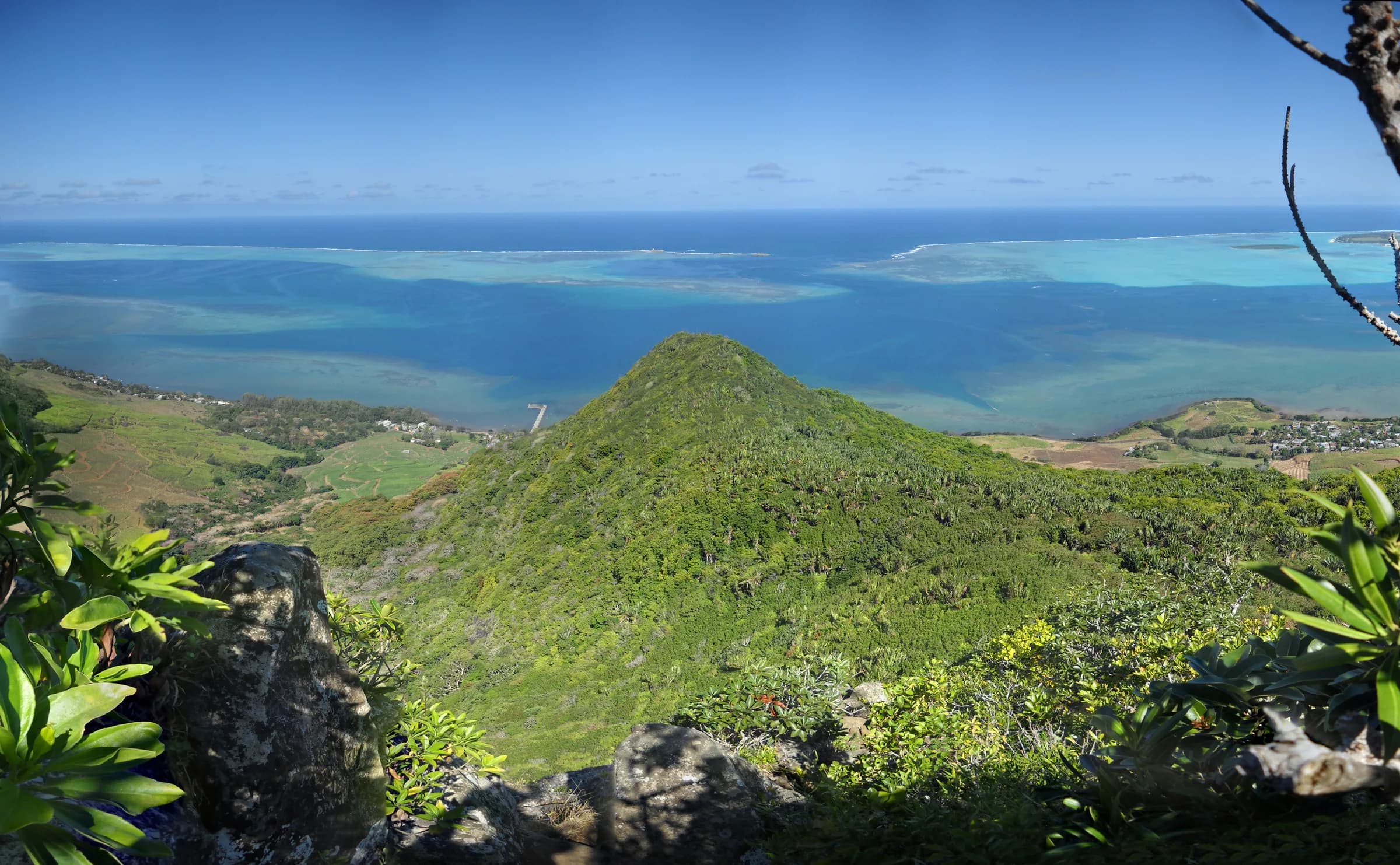
How hard is Lion Mountain?
Effort, exposure and the short scrambles, judged honestly for different hikers.
Read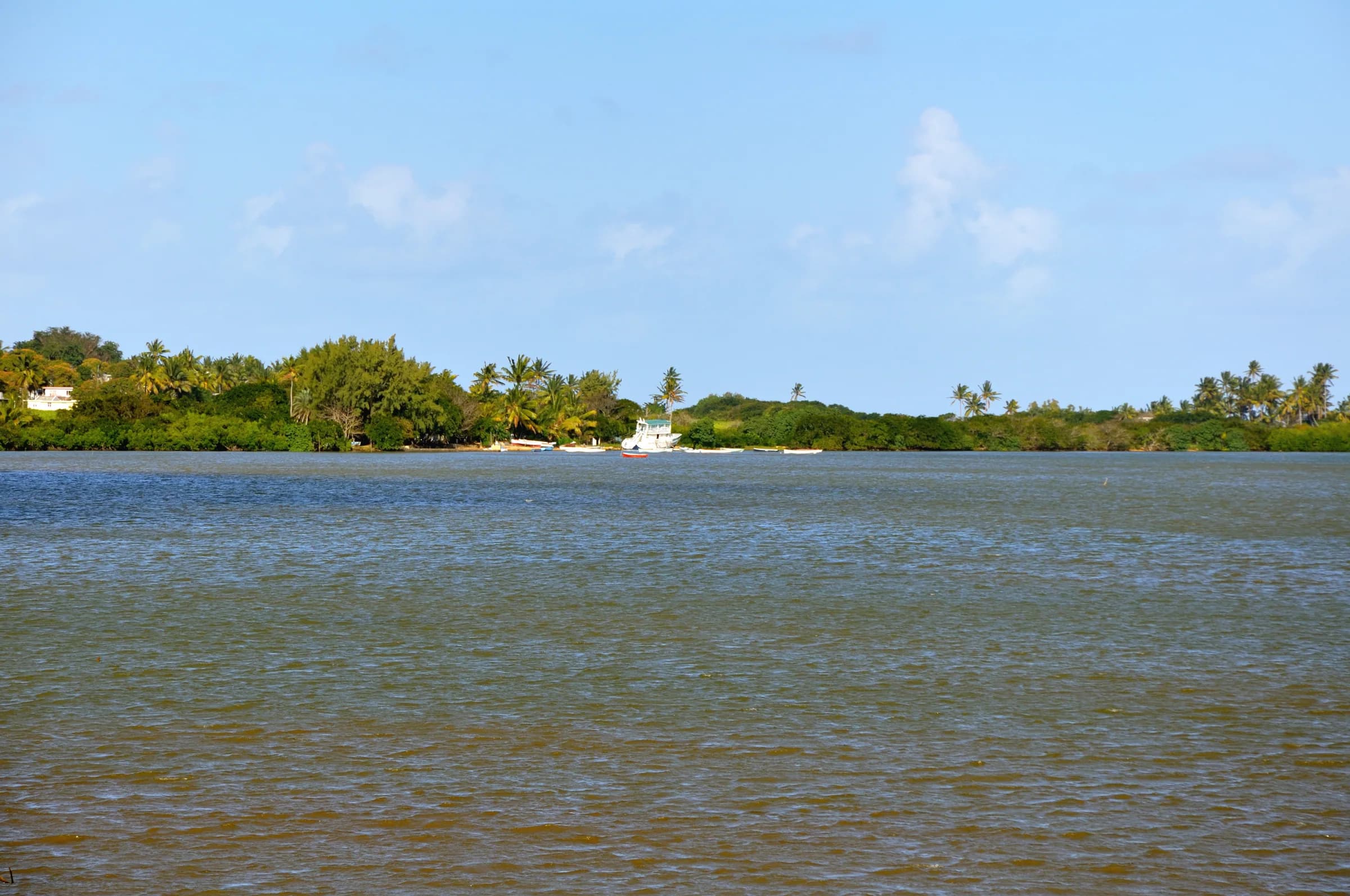
Trailhead and parking
Where the trail starts in Vieux Grand Port, where to leave the car and how to find the first markers.
ReadUnderstand the mountain
The lion’s shape, the geology, the Dutch landing of 1598, the Battle of Grand Port and the forest coming back on its slopes.
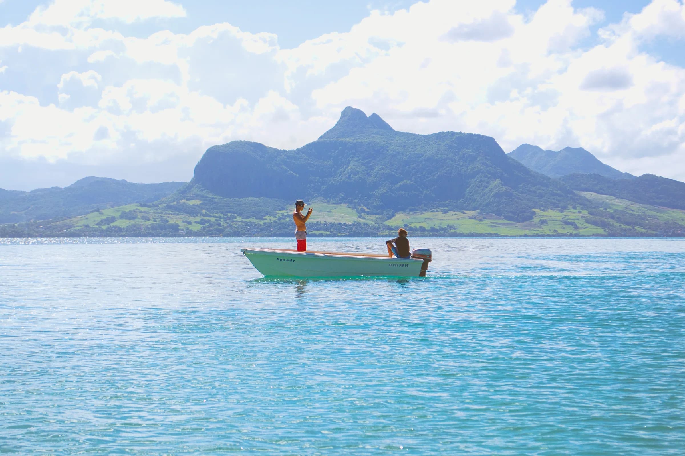
Lion Mountain
Height, shape, location and why a crouching lion watches over the bay of Grand Port.
Read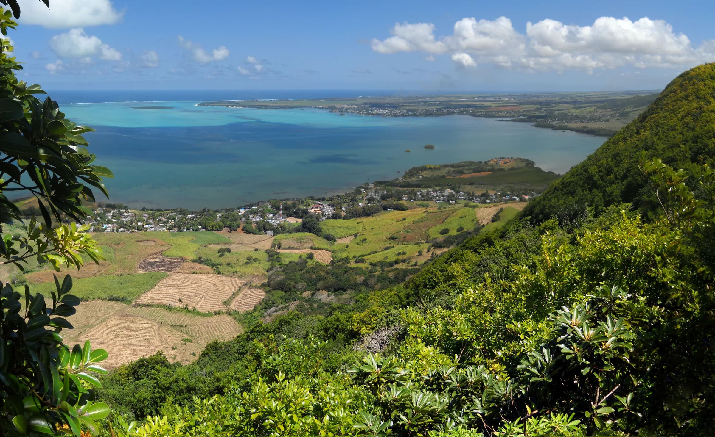
The view from the summit
What you see from the lion’s head: the lagoon, Mahébourg, Île aux Aigrettes, the airport and the Bambous range.
ReadGeology
How an old volcanic rim eroded into a lion, and why the rock behaves the way it does underfoot.
ReadBuild the day
Mahébourg, Vieux Grand Port, Blue Bay and Île aux Aigrettes, plus where to eat, where to stay and how to link it all.
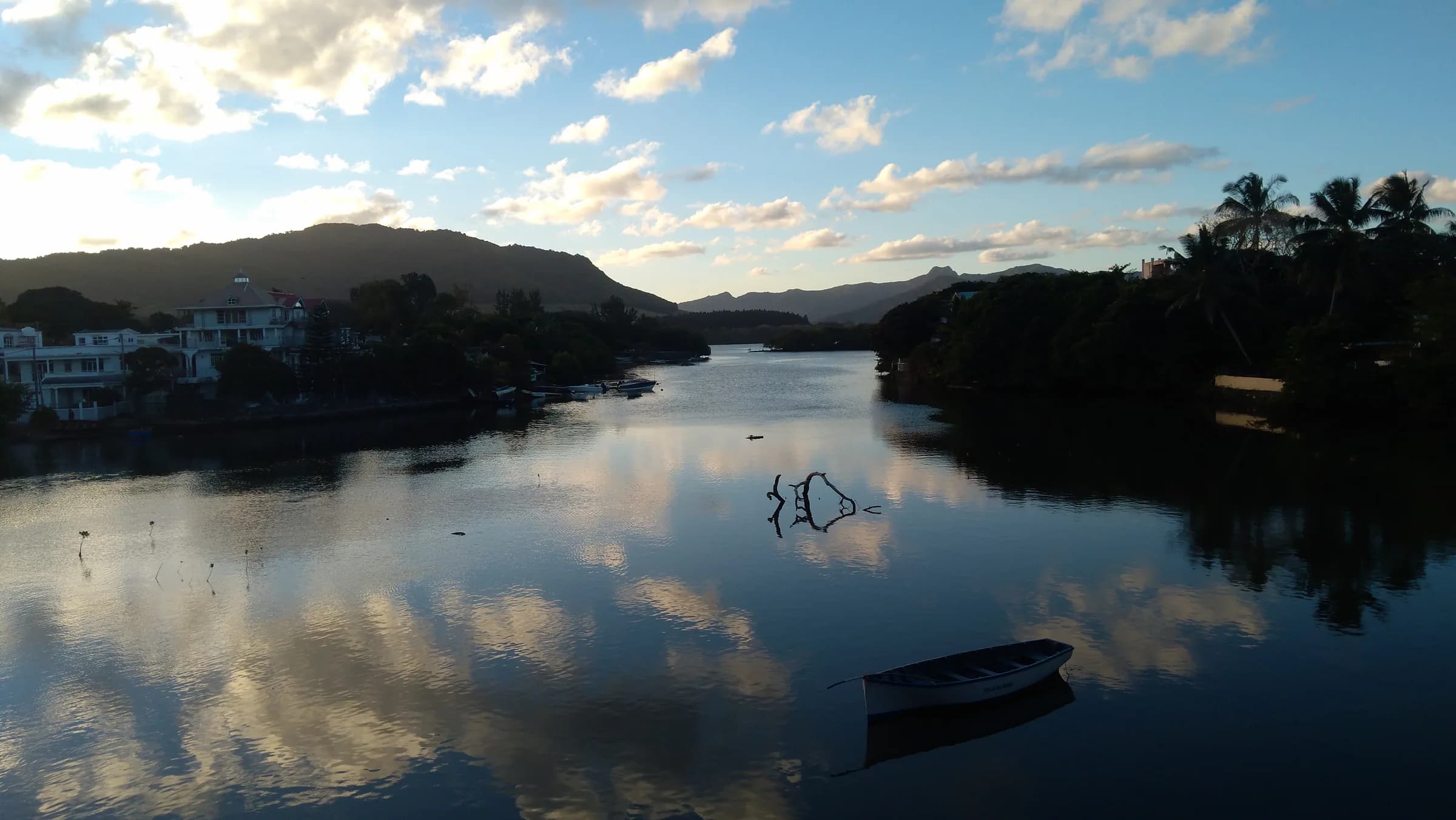
Mahébourg
The old port town under the mountain: market day, the waterfront, the museum and real everyday life.
Read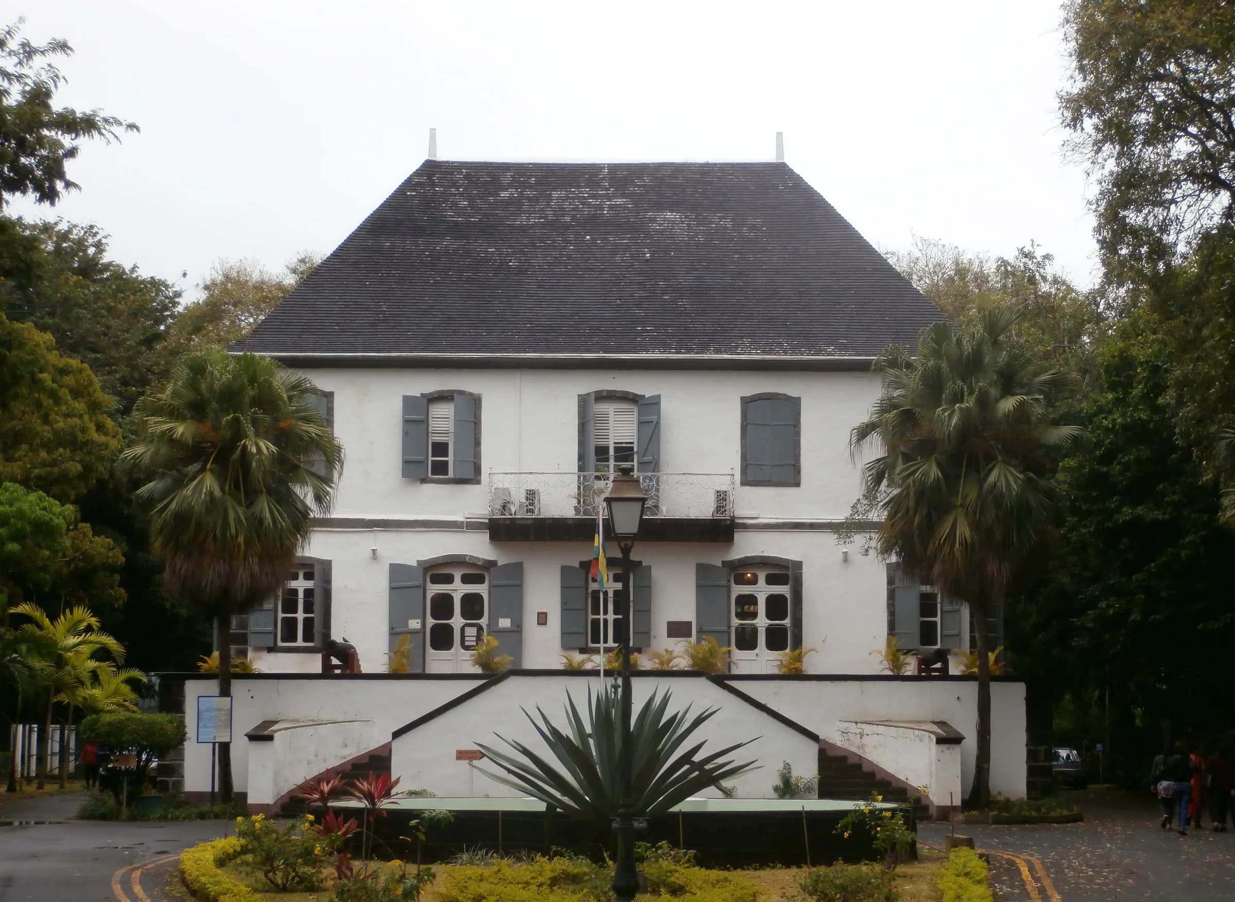
Mahébourg Naval Museum
The Gheude house where both admirals were treated after the battle, and what is inside today.
ReadVieux Grand Port
The oldest settlement on the island, the Frederik Hendrik Museum and the trailhead village.
ReadThe route at a glance
The mapped spine from Vieux Grand Port to the summit, with the eastern ridge loop that reaches the flag viewpoint. Elevation comes from a terrain model and the official summit height is shown separately.
Elevation profile from a 30 m terrain model, which smooths sharp summits. Distances follow the mapped path. Official summit height shown separately.
Quick answers
How high is Lion Mountain?
About 480 m. Published figures range from 440 m on the Mauritius Post stamp series quoted by Wikipedia to 490 m on peak databases and OpenStreetMap, with 480 m the figure used by BirdLife and most guidebooks.
How long does the Lion Mountain hike take?
Most hikers need three to four hours for the return trip from Vieux Grand Port, including time on the summit. Fast, experienced walkers do it in two and a half hours. The distance is short, about 1.8 km each way on the mapped spine, but the climb is steep and the rock sections slow you down.
Is Lion Mountain difficult?
Moderate to hard. The lower slope through cane is easy, the climb to the ridge is steep and rooty, and the final section to the lion’s head has exposed rock steps where you use your hands. Anyone uneasy with drops can stop just before the head and still have a fine view.
Where does the trail start?
In Vieux Grand Port, behind the police station on the coast road, a few hundred metres from the Frederik Hendrik Museum. There is no official car park, so cars are left on the street in the village.
Do I need a guide?
No permit or guide is required and there is no entrance fee from Vieux Grand Port. The trail is unmarked through the cane and only informally marked higher up, so a guide is sensible if you do not know the terrain or the weather is doubtful.
Can I fly a drone on Lion Mountain?
Not without authorisation. The summit is roughly 9 km from SSR International Airport, inside the airport’s controlled airspace, and Mauritian regulations forbid drone flights near the airport and over areas open to the public without permission from the Department of Civil Aviation.