
Lion Mountain, Mauritius
Lion Mountain is the long, crouching ridge that watches over the bay of Grand Port in south-east Mauritius. It is low by the standards of the island’s peaks, about 480 m, but it stands alone above the cane and the lagoon, which is why it looks so much bigger from Mahébourg than the number suggests.
Read the guide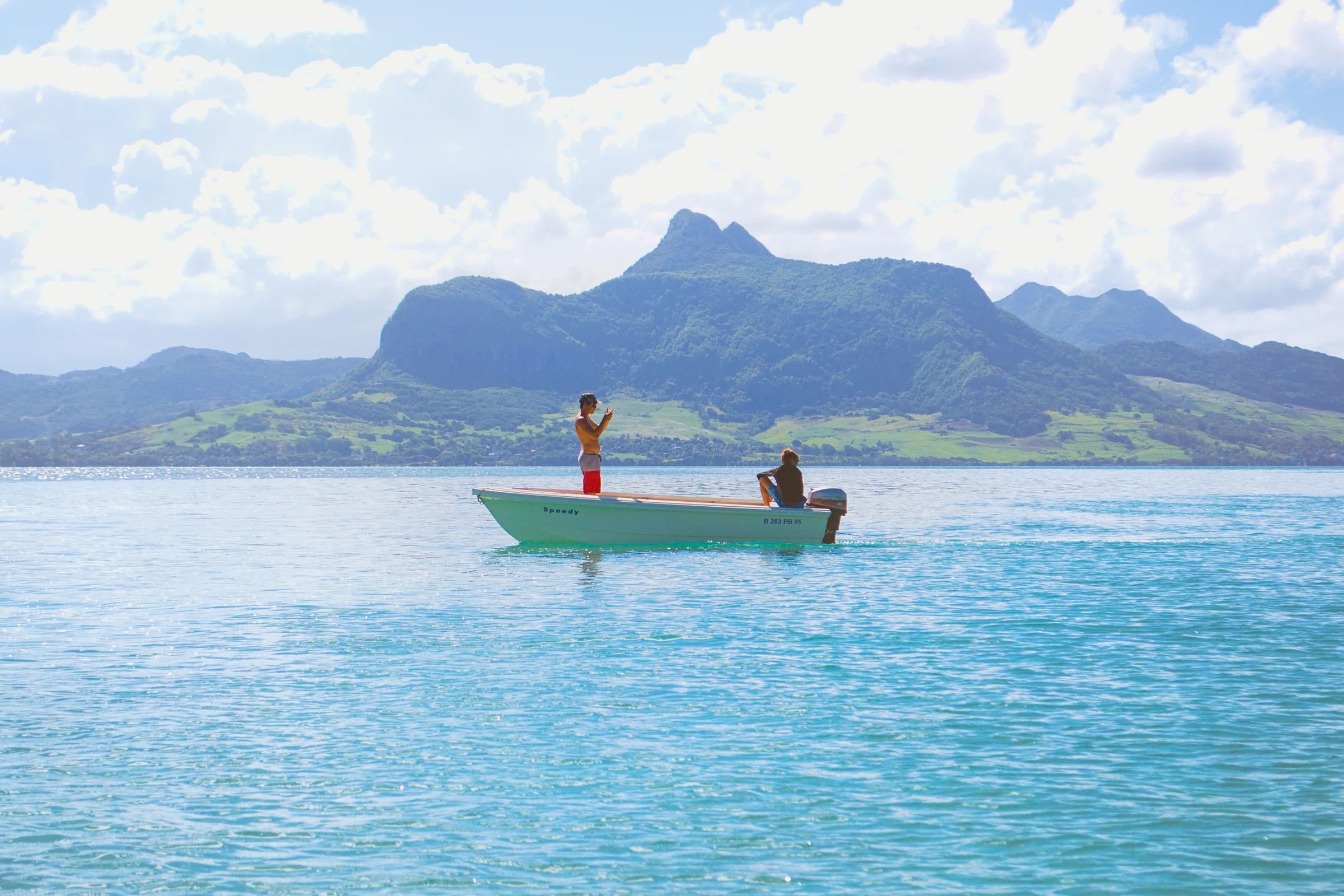
Why it is called the Lion
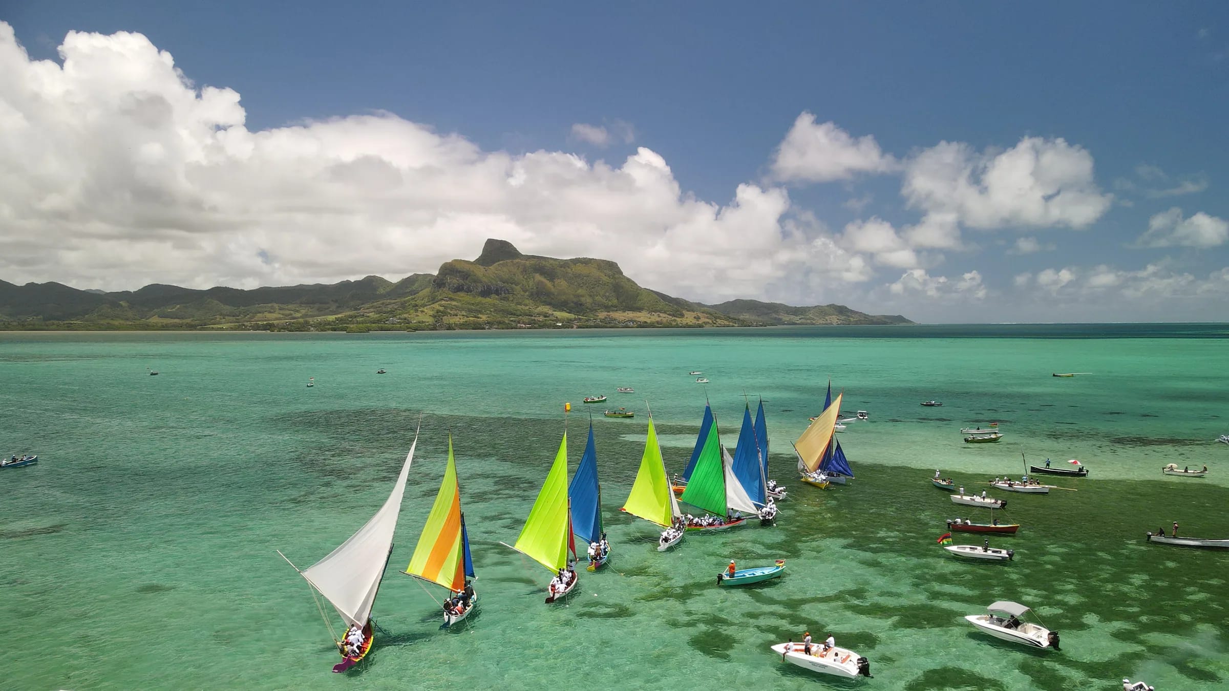
Seen from Mahébourg or from the coast road at Bois des Amourettes, the mountain reads as a lion lying down. The long ridge is the back, rising gently from the south, and the rocky summit block at the northern end is the head, lifted and looking out to sea. Hikers use exactly those words, the back and the head, to describe the two halves of the route.
The French name is Montagne du Lion and the two names are used interchangeably on the island. Old mapping agencies also recorded it as Lion’s Head, and travel writers sometimes call the profile sphinx-like. Nobody has found a written record of when the name was first given, and no Dutch-era name for the mountain has survived, so the honest answer is that the shape named itself and the colonists simply agreed.
How high it really is
Sources do not agree on the height. The English Wikipedia entry gives 440 m, taken from a 2004 Mauritius Post stamp series. Lonely Planet, BirdLife’s Important Bird Area factsheet for the east coast mountains and most Mauritian guides use 480 m. Peak databases such as Peakery, and the OpenStreetMap survey of the summit, record 490 m. Recorded GPS tracks top out between 438 m and 490 m, which is normal for consumer devices on a sharp summit.
This guide uses about 480 m. The spread matters less than it seems, because the mountain starts almost at sea level. Whatever figure you prefer, the climb from Vieux Grand Port is a full 400 m or more of ascent packed into less than two kilometres of path.
| Mountain | Height | Character |
|---|---|---|
| Piton de la Petite Rivière Noire | 828 m | Highest point, forested plateau walk |
| Pieter Both | 820 m | Roped climb to a balanced boulder |
| Le Pouce | 812 m | Walk with a steep summit finish |
| Le Morne Brabant | 556 m | Guided, exposed upper section |
| Lion Mountain | about 480 m | Short, steep, exposed ridge |
Where it stands
The mountain belongs to the Bambous range, the highest and longest of the three parallel chains on the east side of Mauritius. The range runs for roughly 12 km between Montagne Chat and Montagne Table à Perrot, and its highest point, Montagne Bambou, reaches about 630 m. Lion Mountain is its southern outlier, pushed forward towards the coast so that it stands between the valley of Ferney on the north-west and the bay of Grand Port on the south-east.
Vieux Grand Port, the oldest settlement on the island, sits at its foot on the coast road. Mahébourg is about 6 km to the south-west across the water, and the runway of Sir Seewoosagur Ramgoolam International Airport is about 9 km away in a straight line, close enough that aircraft on approach pass within sight of the summit.
What the mountain is made of
Mauritius is a volcanic island built by the Réunion hotspot. Its oldest rocks, the so-called Older Series, were erupted between roughly ten and five million years ago, and the deeply eroded eastern ranges, including the Bambous Mountains, belong to that old shield. The island’s later eruptions filled the centre with younger lava and left the old rim standing as the ring of mountains you see from any high point today.
Nobody has published a dated study of Lion Mountain itself, so this guide does not pretend to know the age of its rock to the million years. What matters underfoot is simpler: the ridge is weathered basalt with a thin, clay-rich soil, which drains slowly, stays slippery long after rain and polishes smooth where thousands of boots have used the same handholds.
What the mountain has watched
The bay below is where the recorded history of Mauritius begins. In September 1598 the ships of Wybrand van Warwijck anchored in the sheltered water and the Dutch named the island after their stadtholder, Maurits of Nassau. Forty years later they built Fort Frederik Hendrik on the colluvial fan at the foot of the mountain, and its excavated foundations now sit inside the museum grounds a few hundred metres from the trailhead.
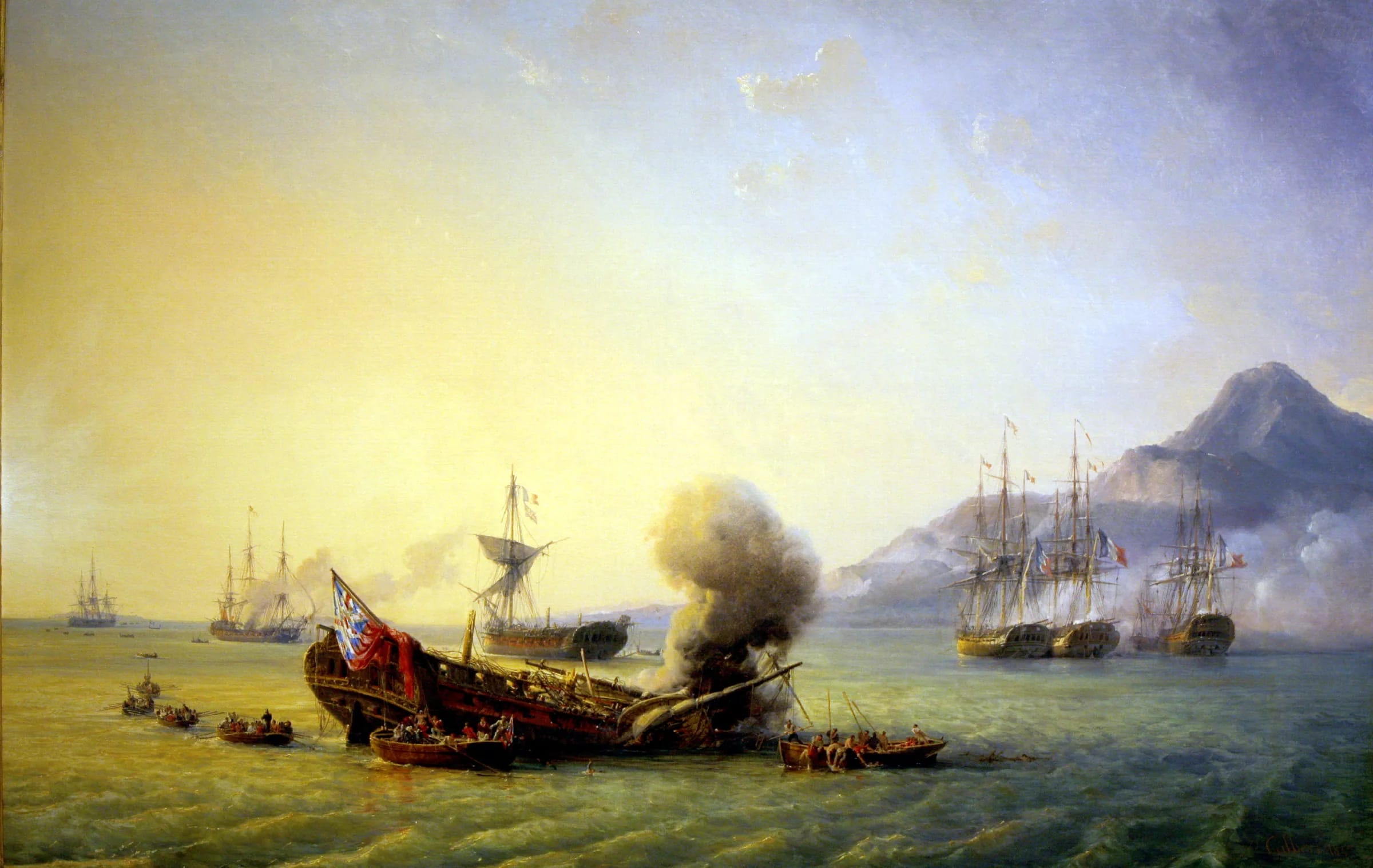
In August 1810 the same lagoon saw the Battle of Grand Port, a week-long fight in which four British frigates were lost or captured inside the reef. It is the only naval battle whose name is carved on the Arc de Triomphe in Paris. The memorial stands on the waterfront at Mahébourg, looking straight back at the lion.
How it fits a visit
Lion Mountain is a half-day mountain, not a full expedition. From Vieux Grand Port the climb and return take three to four hours for most people, which leaves the afternoon for Mahébourg, the marine park at Blue Bay or a boat to Île aux Aigrettes. The guides on this site cover each of those pieces so you can put the day together in whichever order suits the weather.
If you only read one other page, read the hiking guide. The lower slope is easy, the ridge is steep, and the final steps onto the lion’s head are genuinely exposed. Knowing that before you start is the difference between a great morning and an uncomfortable one.
- Start early. The climb is exposed to the sun and there is no water on the route.
- Check the forecast for the south-east specifically, which gets more rain than the west coast.
- Leave cars in the village and keep valuables out of sight.
- Carry at least 1.5 litres of water per person and shoes with real grip.
Questions people ask
Is Lion Mountain the same as Lion’s Head?
In Mauritius, yes. Lion’s Head and Lion’s Head Mountain appear as alternative names in geographic databases. Lion’s Head in Cape Town is a different mountain altogether.
Which district is Lion Mountain in?
Grand Port district, in the south-east of Mauritius, between Vieux Grand Port on the coast and the Vallée de Ferney inland.
Can you see Lion Mountain from the airport?
Yes, it is the prominent ridge to the north-east of the runway, and passengers on the left side of an aircraft landing from the sea often see it on approach.
Is it worth climbing if I have done Le Morne?
Yes, because it is a different kind of mountain. Le Morne is a managed heritage site with a guided upper section. Lion Mountain is free, unmarked, steeper for its height and far quieter, with a view over a bay rather than a lagoon on the sunset side.
Ready to plan the climb?
The hiking guide walks the route stage by stage, from the cane fields to the lion’s head, with honest notes on the exposed sections.