
Hiking in Mauritius
Mauritius is a small volcanic island with a ring of worn-down mountains, none higher than 828 m, and more good walking than its beach reputation suggests. This page is the overview, written from the south-east corner where Lion Mountain stands. It covers the ranges, the hikes people actually do, when to go, what the rules are and how to stay out of trouble.
Read the guide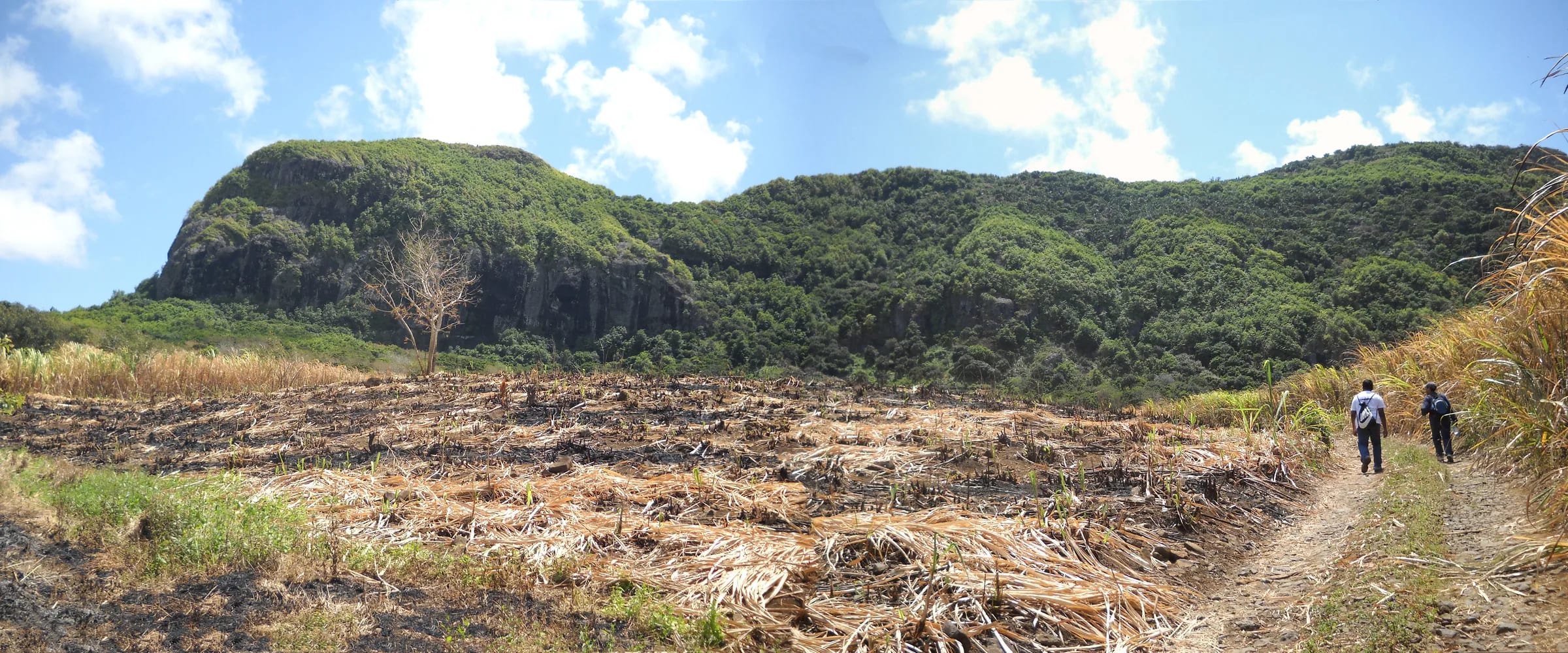
An island of old volcanic rims
Mauritius was built by the Réunion hotspot. Its oldest lavas were erupted between roughly ten and five million years ago, and later eruptions filled the centre of the island with younger basalt, leaving the eroded remains of the old shield standing as a ring of mountains around a high central plateau. That is why the peaks sit near the coasts rather than in the middle, and why so many of them are sharp, isolated shapes rather than long, rolling ranges.
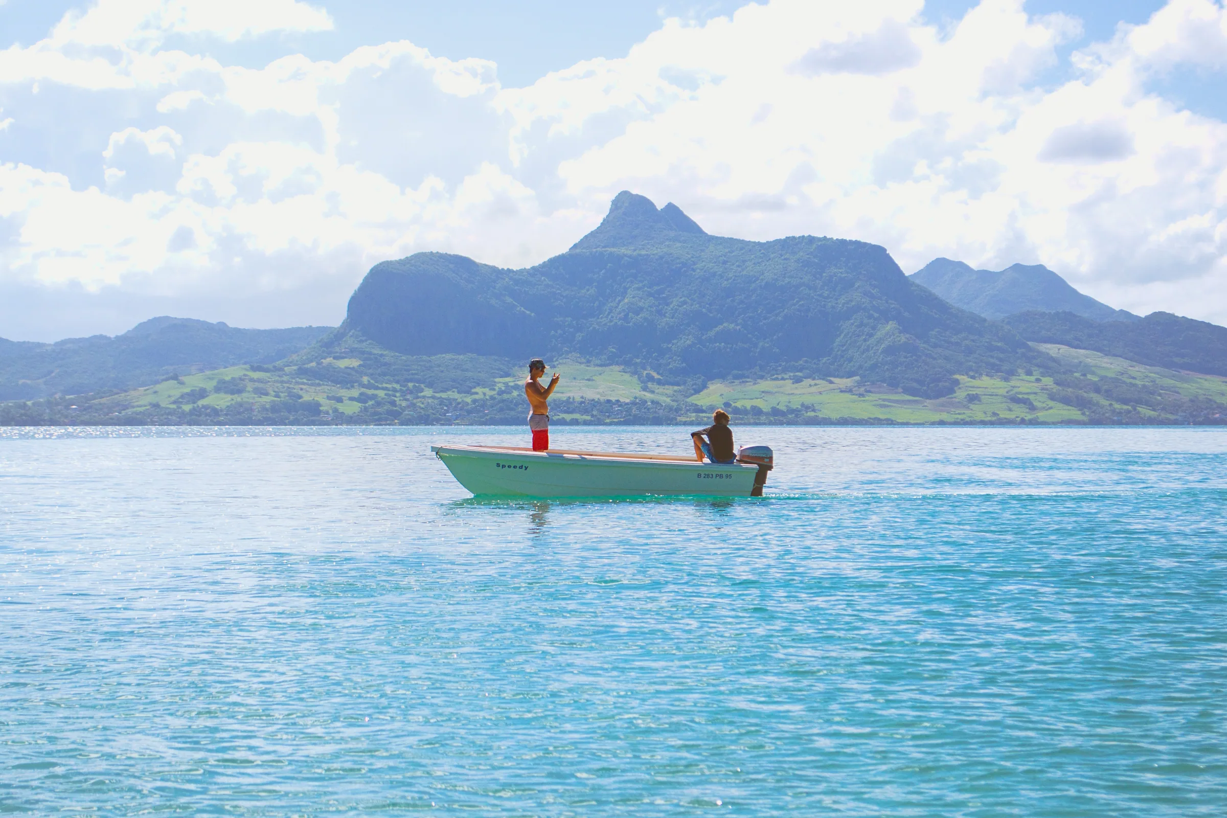
Seen from the south-east, four groups matter. The Moka Range forms a semicircle of about 20 km around Port Louis and holds Pieter Both at 820 m, Le Pouce at 812 m and Snail Rock at 620 m. The Black River mountains in the south-west hold the island’s highest point, Piton de la Petite Rivière Noire at 828 m, and most of Black River Gorges National Park. The Bambous range, also called the Grand Port range, is the highest and longest of three parallel chains on the east side, a 12 km ridge whose high point, Montagne Bambou, reaches about 630 m and whose southern outlier is Lion Mountain at about 480 m. Le Morne Brabant, 556 m, stands alone on its peninsula in the far south-west.
The hikes people actually do
The table lists the walks that come up most often, with the figures our sources give. Times are for a return trip at an ordinary pace and vary a great deal with heat, wet rock and how long you spend on top. Where no reviewed time exists we say so rather than guess.
| Hike | Height or high point | Time | Character |
|---|---|---|---|
| Piton de la Petite Rivière Noire (Black River Peak) | 828 m | 3 to 4.5 hours, about 9 km return | Forested plateau walk to the island’s highest point, moderate |
| Pieter Both | 820 m | About 4 hours, 3.3 km return | Roped climb to a balanced boulder, guide compulsory |
| Le Pouce | 812 m | 2 to 3 hours from Petit Verger | Waymarked walk with a steep, narrow finish |
| Montagne Bambou | About 630 m | No reviewed route in our sources | Highest point of the Bambous range, summit covered in Chinese guava |
| Trou aux Cerfs | About 605 m at the rim | A short walk round the rim | Dormant crater in Curepipe, 300 to 350 m across and 80 m deep |
| Le Morne Brabant | 556 m | 2 to 3 hours on the lower trail | Managed heritage trail, Grade 1 path then a Grade 3 scramble, upper section closed at the time of writing |
| Lion Mountain | About 480 m | 3 to 4 hours return | Short, steep, unmarked ridge with an exposed head |
| Black River Gorges trails (Macchabée, Parakeet, Piton Savanne) | Within the park | 2 to 5.5 hours depending on the trail | Marked forest trails in the island’s largest protected area |
| Tamarind Falls (Sept Cascades) | Near Henrietta | About 3 hours on a guided route of about 3 km | Canyon of seven waterfalls on the Rivière Tamarin, guides strongly advised |
| Vallée de Ferney | Valley floor to the ridges | 1 to 1.5 hours for the 5 km loop, longer routes to 18 km | Private conservation estate with four marked routes and a fee |
Seasons and the weather that matters
The drier, cooler months from May to November are the hiking season. Mauritius Meteorological Services’ long-term normals give a winter mean of 20.4 °C from June to September against 24.7 °C in summer, and October is the driest month on average. Rainfall differs enormously by region because the south-east trade winds push moist air onto the windward side. The east averages about 2,640 mm a year and the centre 2,739 mm, while the west gets about 920 mm, so a forecast for the island means little. Check the region you are walking in.
Summer, from November to April, is hot, humid and wet, with thunderstorms mostly from December to April. It is also cyclone season. Most activity falls between January and March, the season is usually given as mid November to mid May, and the Meteorological Services issue warnings in four classes from about 36 to 48 hours before gusts of 120 km/h are expected. Nobody hikes under a cyclone warning. Days are long in summer, with sunrise around 05:30 and sunset after 18:30 in December, and short in winter, when the sun sets around 17:40 in June and July. Dusk is brief this close to the equator, about 20 minutes, and Mauritius keeps UTC+4 all year with no daylight saving.
Guides, permits and fees
Most mountains in Mauritius are free to climb and need no permit. Lion Mountain and Le Pouce have no gate, no fee and no opening hours, and nobody will ask who you are. A few sites are managed. Le Morne Brabant has an entrance, a visitor window of 07:00 to 16:00 and a latest start of 14:30. Access is free, guiding is a separate paid service and its upper section was closed for rockfall when this page was written. Pieter Both’s summit boulder requires a professional guide, ropes, helmet and harness. Black River Gorges National Park is run by the National Parks and Conservation Service, with two information centres and about 60 km of trails. Vallée de Ferney is a private estate with published fees and hours. Tamarind Falls is a canyon where guides are strongly advised.
Guides are otherwise a matter of judgement. On an unmarked route like Lion Mountain a guide saves time in the cane and reads the weather, and in a country without a dedicated mountain rescue service a competent companion is worth more than the fee. On a waymarked route like Le Pouce most people go alone. Many trails cross cane land and estate roads that belong to someone, so stay on the path, close gates and do not drive onto cane roads to shorten a walk.
Safety basics that apply everywhere
The dangers in Mauritius are heat, wet rock, exposure and darkness, roughly in that order. Start early, carry at least 1.5 litres of water per person, more in summer, and wear shoes with real grip, because the clay soil on these mountains stays slippery long after rain and the rock polishes where thousands of hands have used the same holds. Mosquito repellent is stressed by almost every hiker who writes about the east. Know your turnaround point before you start and respect it when cloud comes down or the afternoon runs late.
Tell someone where you are going and when you expect to be back. Download the route before you leave, because many trails are unmarked or informally marked and signal is patchy. The emergency numbers are 999 or 112 for police and 114 for the SAMU ambulance service. There is no dedicated mountain rescue line, and rescues on the island have relied on police units, the Special Mobile Force and, at times, a helicopter. Treat that as a last resort rather than a plan.
Crime on the mountains is not unknown. In October 2025 a group of tourists and their guide were robbed at knifepoint at Le Dauguet on the Port Louis approach to Le Pouce. Walk in company, keep phones and cameras discreet on the lower approaches and leave nothing visible in a parked car.
- Police 999 or 112, SAMU ambulance 114.
- At least 1.5 litres of water per person, because most routes have no water at all.
- Dusk lasts about 20 minutes, so be off exposed ground before sunset.
- Cyclone season is roughly November to April, with the official warning window to mid May.
Easy hikes for a first day
People ask for easy hikes more than anything else, so here they are. Vallée de Ferney’s 5 km route has only 75 m of climb and takes 1 to 1.5 hours. Le Morne’s Section 1 is a Grade 1 path of 2.53 km to a viewpoint over the lagoon. The rim of Trou aux Cerfs in Curepipe is a short stroll round a crater 300 to 350 m across. In Black River Gorges the Piton Savanne trail is about 6 km return and graded easy. On Le Pouce the first hour to the plateau is a steady walk on a good path, and you can turn round there with the big view already in hand. On Lion Mountain the cane road to the foot of the ridge is easy and partly shaded, though the mountain proper is not.
Where Lion Mountain fits if you are staying in the south-east
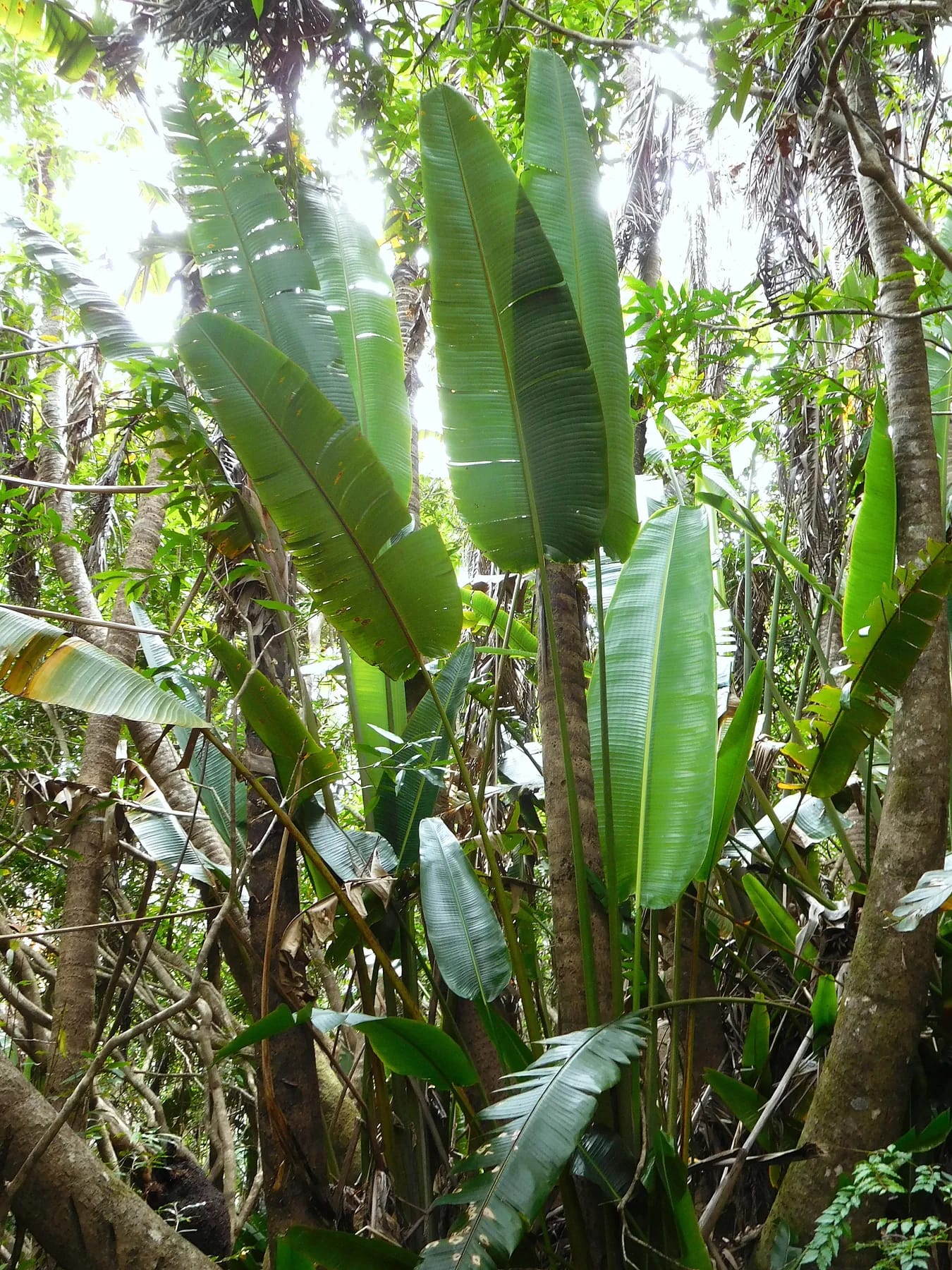
If your base is Blue Bay, Pointe d’Esny, Mahébourg or Vieux Grand Port, Lion Mountain is the mountain. The trailhead is about 13 km by road from the airport and a short drive round the bay from Mahébourg, and the climb fits before breakfast or before the heat. Vallée de Ferney, next door, gives you the easy walking and the kestrels. Pointe du Diable, the restored French battery on the coast road towards Grand Sable, is a short stop rather than a hike.
The other famous peaks are a drive away. Le Pouce and Pieter Both rise above Port Louis, which bus 198 links to Mahébourg if you are travelling without a car. Le Morne is on the opposite corner of the island. Black River Gorges and Tamarind Falls sit on the south-western plateau. Each is a day trip from the south-east rather than a morning, so plan Lion Mountain for the day you arrive or leave and keep the longer drives for the middle of a stay.
Questions people ask
What are the highest mountains in Mauritius?
Piton de la Petite Rivière Noire at 828 m is the highest, followed by Pieter Both at 820 m and Le Pouce at 812 m. Le Morne Brabant is 556 m and Lion Mountain about 480 m. Heights for the smaller peaks vary between sources, and this site uses the most widely published figure for each while noting the range.
Is there good hiking in Mauritius?
Yes, if you accept the island’s scale. The mountains are low but steep and isolated, so even a 480 m ridge like Lion Mountain climbs 400 m in under 2 km and feels bigger than the number. The variety is real too, from forest plateau walks and roped boulders to heritage trails, a crater rim and waterfall canyons, all on an island you can drive across in about an hour.
What are some easy hikes in Mauritius?
The 5 km route at Vallée de Ferney with 75 m of climb, Le Morne’s Grade 1 lower trail to Viewpoint 2, the rim of Trou aux Cerfs in Curepipe, the Piton Savanne trail in Black River Gorges and the first hour of Le Pouce to the plateau. Lion Mountain is not an easy hike, although the cane road to the foot of the ridge is.
Do I need a guide to hike in Mauritius?
Only on Pieter Both, where ropes, a helmet, a harness and a professional guide are required for the summit boulder, and in practice at Tamarind Falls, where guides are strongly advised. Lion Mountain, Le Pouce and Le Morne’s lower trail can be walked independently. A guide earns the fee on unmarked routes, in doubtful weather and for anyone new to tropical mountains.
When is the best time of year to hike in Mauritius?
May to November, the austral winter, when it is cooler, drier and the air is clearer. October is on average the driest month. Summer from November to April is hot, humid and wet, with cyclone season roughly from November to April and an official warning window to mid May. Whatever the month, start early and check the forecast for your region.
How many mountains are there in Mauritius?
There is no official count, and the answer depends on what you call a mountain. One hill database ranks 23 named summits and places Lion Mountain twentieth among them. The useful answer is four groups, the Moka, Black River and Bambous ranges plus the isolated Le Morne Brabant, with a dozen or so peaks that hikers actually climb.
Start with the mountain next door
The Lion Mountain hiking guide walks the route from Vieux Grand Port stage by stage.